Big Sandy South
This map image represents the area of coverage for the new High Resoultion data set. The area in yellow is the zone where data was collected to generate the lake terrain models. The area of coverage is approximately 1800 acres.
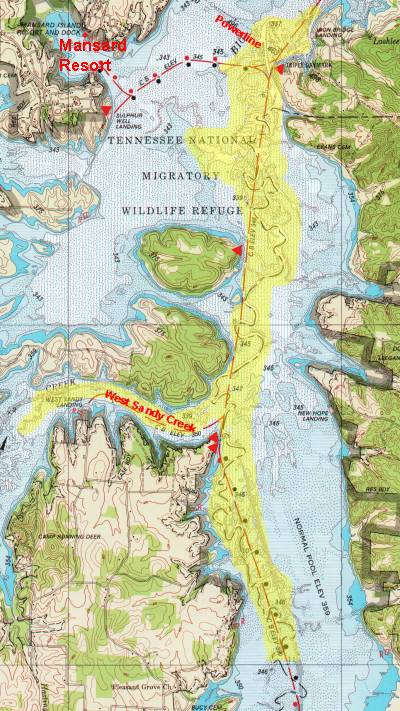
Big Sandy SouthThis map image represents the area of coverage for the new High Resoultion data set. The area in yellow is the zone where data was collected to generate the lake terrain models. The area of coverage is approximately 1800 acres. |
|
|